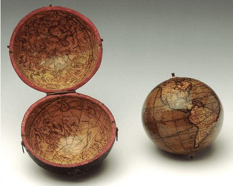
Deb Wood examines the role of pocket globes in teaching Britons how to rule an Empire. ‘The Imperial Federation Map’ 1886: the poster-girl of imperial mapping.1 When we talk about mapping the British Empire, the image above is often one of the first to come to mind. With its swathes of red spreading across the... Continue Reading →
Owning the World: How the globe taught Britons to rule